

Past Activities
Hembrillo Battlefield Fieldtrip - Feb. 13, 2016
Photos by Bob Gamboa
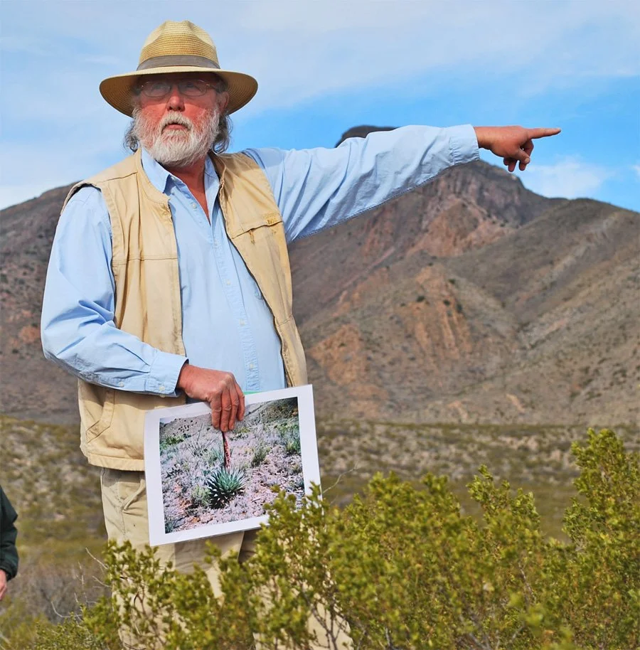
The field trip to the Hembrillo Battlefield took place on Saturday, Feb. 13.
The battlefield is located on White Sands Missile Range next to where
the Dona Ana/Sierra County line passes through the San Andres Mountains.
The battle was the result of the U.S. Army, under the command of Col. Hatch,
trying to return Apache Chief Victorio and his followers to their reservation.
The battle began with a skirmish at the east end of Hembrillo Canyon on April 5, 1880.
The main battle took place on the 6th and 7th in Hembrillo Basin, at the head of the canyon.
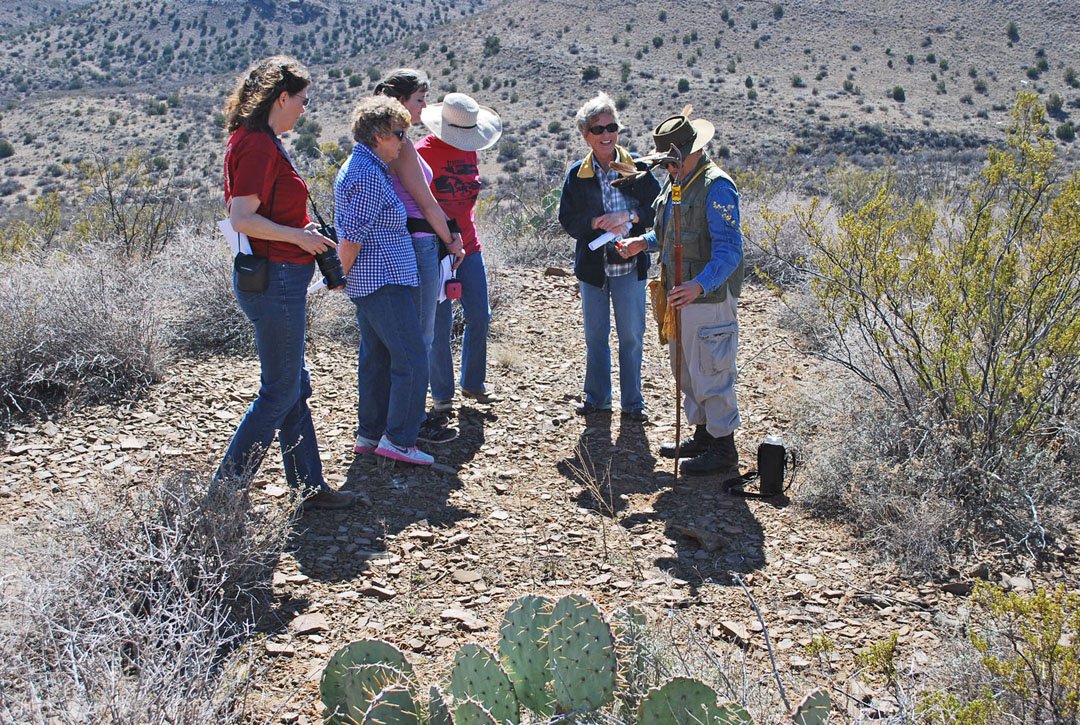
Karl Laumbach gestures as he explains the background for the Hembrillo Battle of 1880. Karl, with Human Systems Research,
figuratively and literally wrote the book on the battle. He volunteered his time to brief the membership during the tour of the canyon.
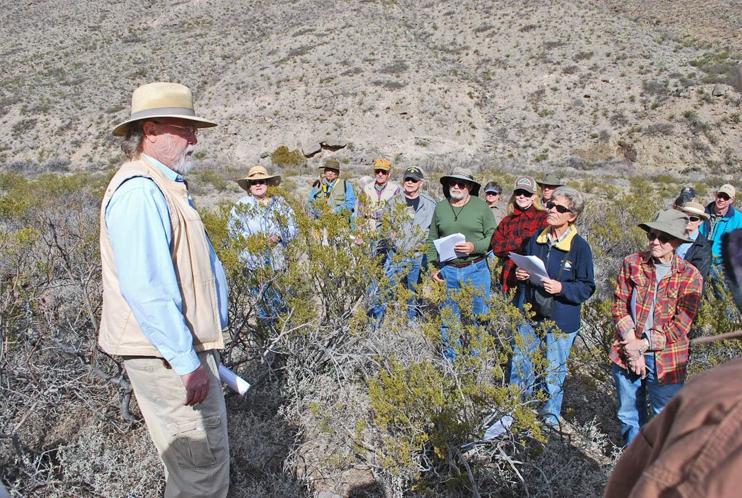
Karl briefs members of the DACHS at "Conline's" skirmish site where the lieutenant and his company of buffalo soldiers exchanged gun fire with Victorio's
warriors toward the evening of April 5, 1880. The skirmish set up the chain of events that followed as any plan for a surprise attack disappeared.
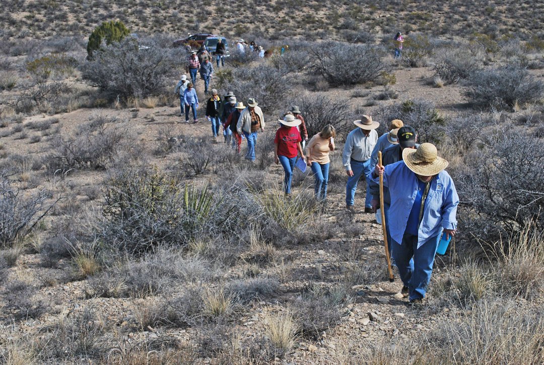
The group snakes its way up a primitive trail to Capt. Henry Carroll's position on the night of April 6, 1880.
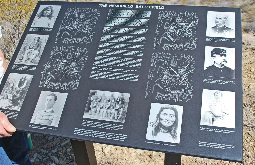
The sign on a ridge overlooking Capt. Carroll's position. The sign was erected by Human Systems Research after their study of the area.
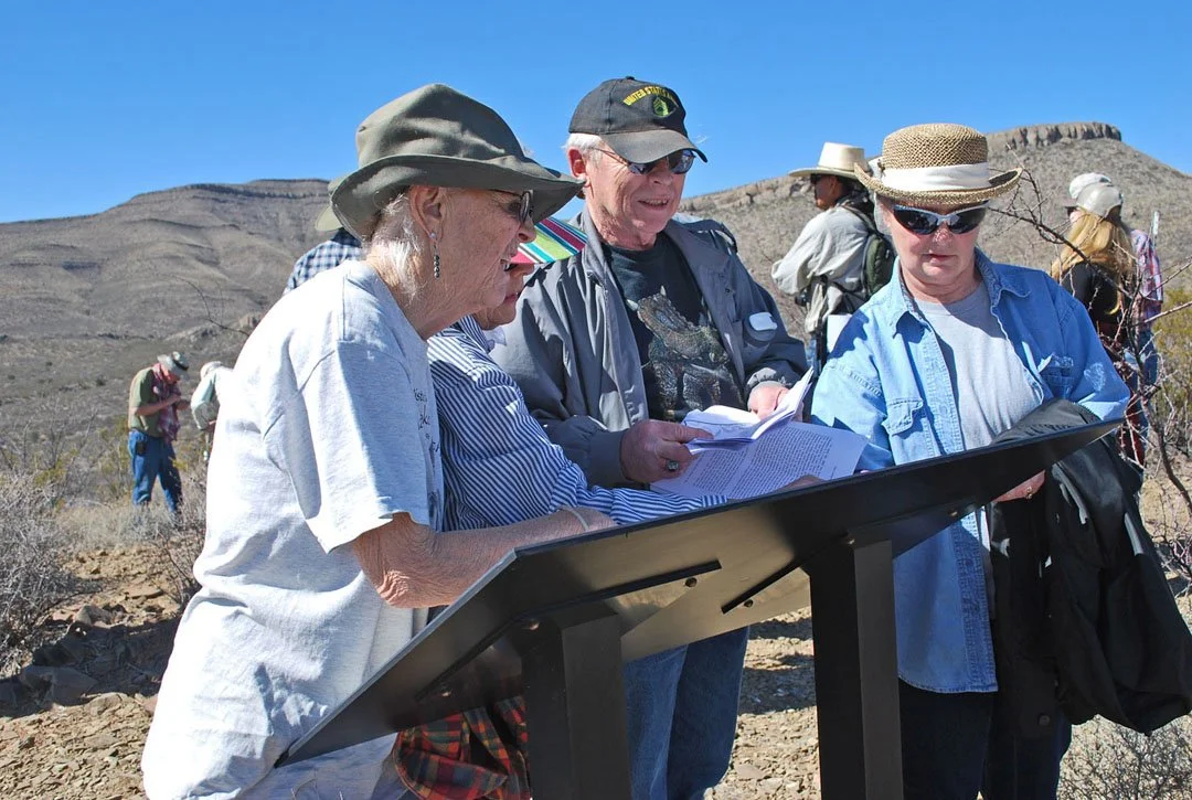
Members find where they are on the sign's maps.
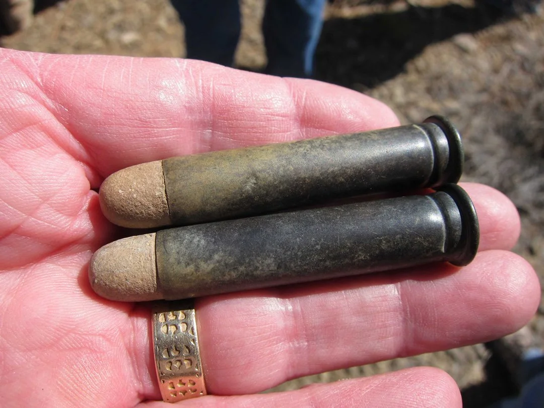
Tour leader Jim Eckles shows the group a couple of intact .45-caliber cartridges found on the battlefield.
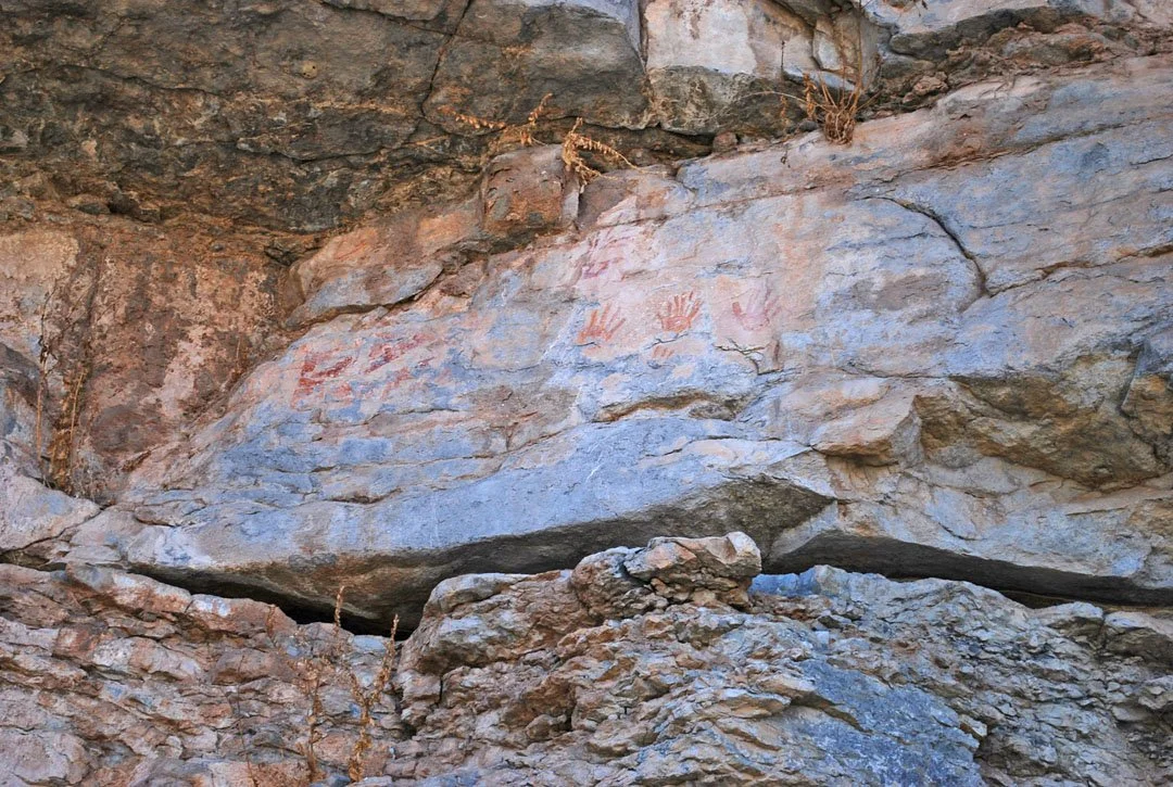
Some of the pictographs at a site in the canyon called "Bloody Hands" -- for obvious reasons.
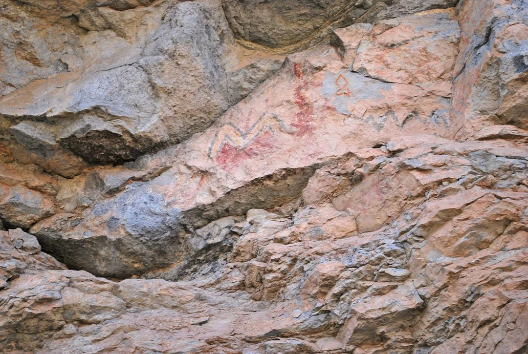
Other images at Bloody Hands. The diamond 4 is the mark of Juan Bernall who herded goats in the canyon in the early 20th century.
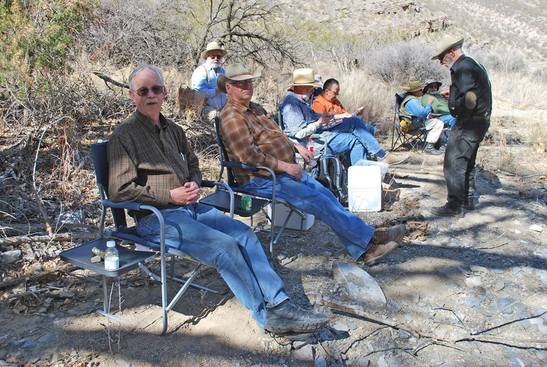
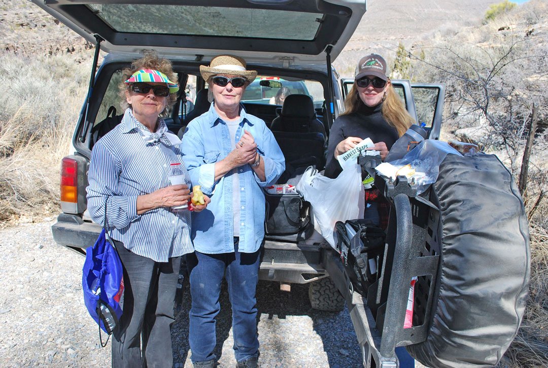
The group ate lunch under the old cottonwoods at Rock Art Spring
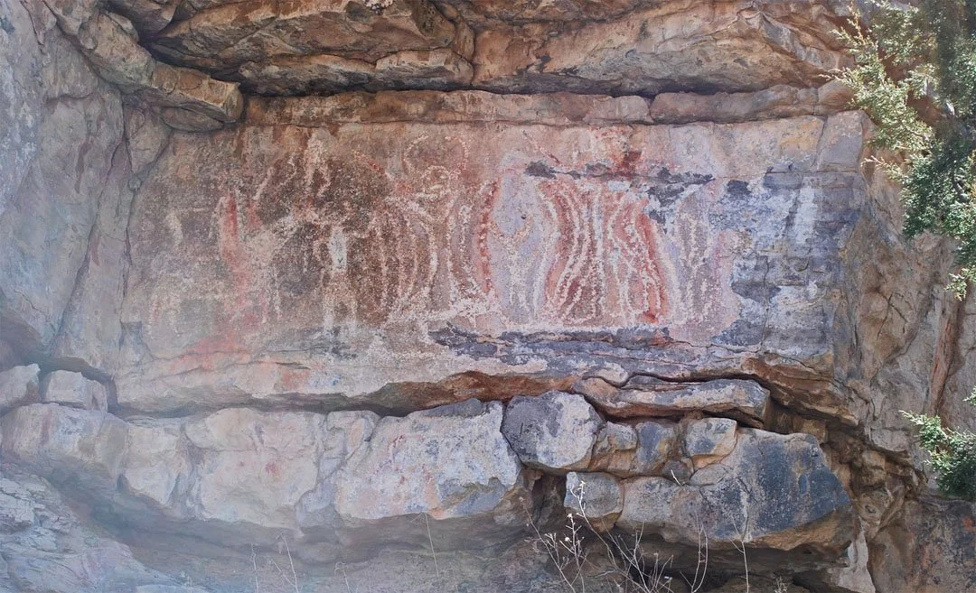
These are the main images at Rock Art Spring and are both pecked and painted on the rock wall. They are attributed to the Apache as the left figure is clearly on horseback, meaning it was drawn after contact with the Spanish.
Billy the Kid Tour conducted by Dave Thomas
Photos by Bob Gamboa
On June 17, 2016 Bob Gamboa, Sally Kading, Karla Steen, Frank and Priscilla Parish, and David Thomas meet at Fred's Restaurant in Fort Sumner at 11:30 a.m. for a Billy the Kid Tour. Fred's is the only restaurant open in Fort Sumner.
After lunch, we visited the old Fort Sumner cemetery where Billy is buried, then the two museums in town, the Fort Sumner Museum and the Billy the Kid Museum. On leaving Fort Sumner, we visited the old town of Sunnyside and
the decaying Saint Anthony Catholic Church located there.
Next, in the historic town of Puerto de Luna (PDL to locals), we visited the Alexander Grzelachowski Store, built in 1870, where Billy spent Christmas Day after being captured by Pat Garrett's posse. New construction obscures the view of the building from the dirt road that fronts it. We were lucky as the owners let us walk up to the building, look in its windows, and take pictures. In PDL we also visited the grave of Grzelachowski, the gave of Lorenzo Labadie, the Nuestra Senora de Refugio Catholic Church where Juan Patron is buried, and the Santa Inez Chapel.Grzelachowski's stone was missing from his grave.
From PDL we visited the ruins of the Santa Rosa de Lima Chapel, in Santa Rosa, built 1865. Also in Santa Rosa, we visited Albert A. Garcia, who graciously welcomed us into his home. Garcia is the author of Billy The Kid's Kid, in which he writes about his descendent from Billy the Kid, by way of a male child.
The following morning we visited the San Jose Catholic Church in the tiny community of Anton Chico, where Pat Garrett married Apolinaria Gutierrez on January 14, 1880. There are no public restrooms in Anton Chico and the
nearest gas is 30 miles away.
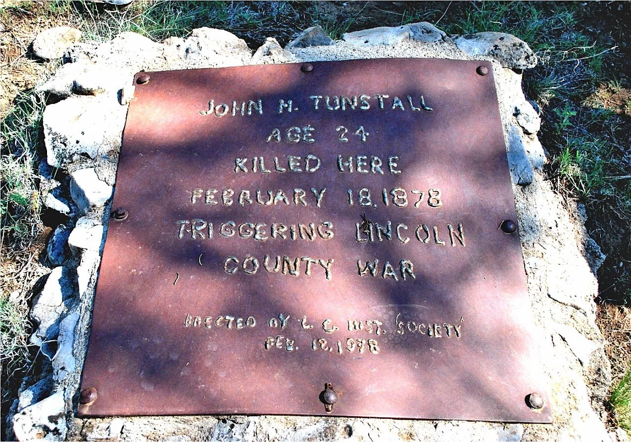
On the way home to Las Cruces, we visited the site of John Henry Tunstall's killing during the Lincoln County War. The Tunstall site is in dense scrub forest on the plateau above Glencoe and impossible to find without detailed
instructions.
by David Thomas
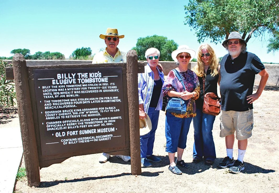
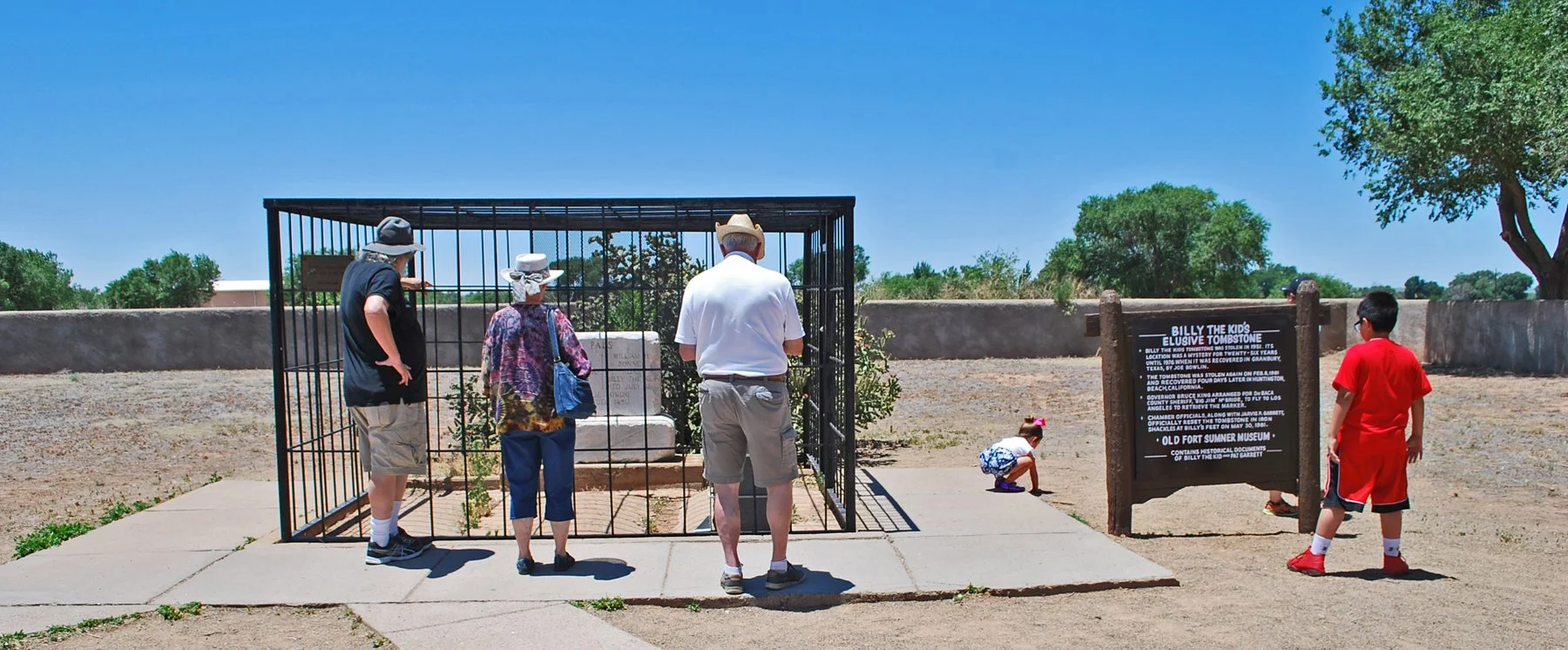
Billy the Kid's grave - old Fort Sumner Cemetery
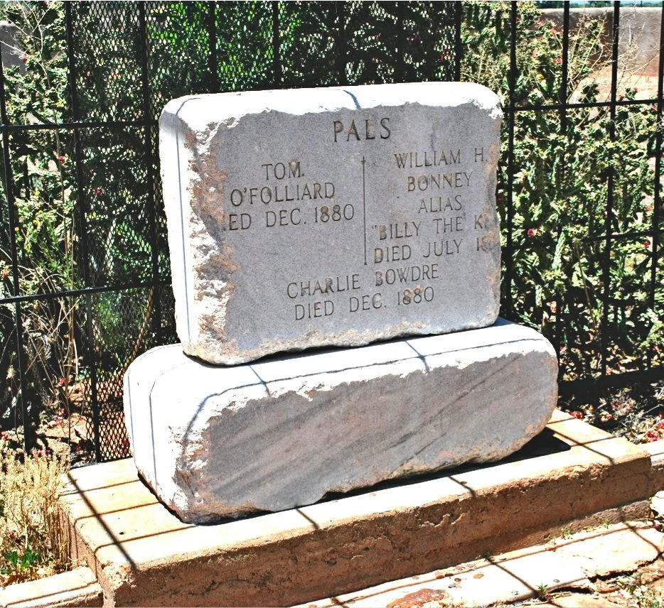
Lucien Maxwell's grave in old Fort Sumner Cemetery.
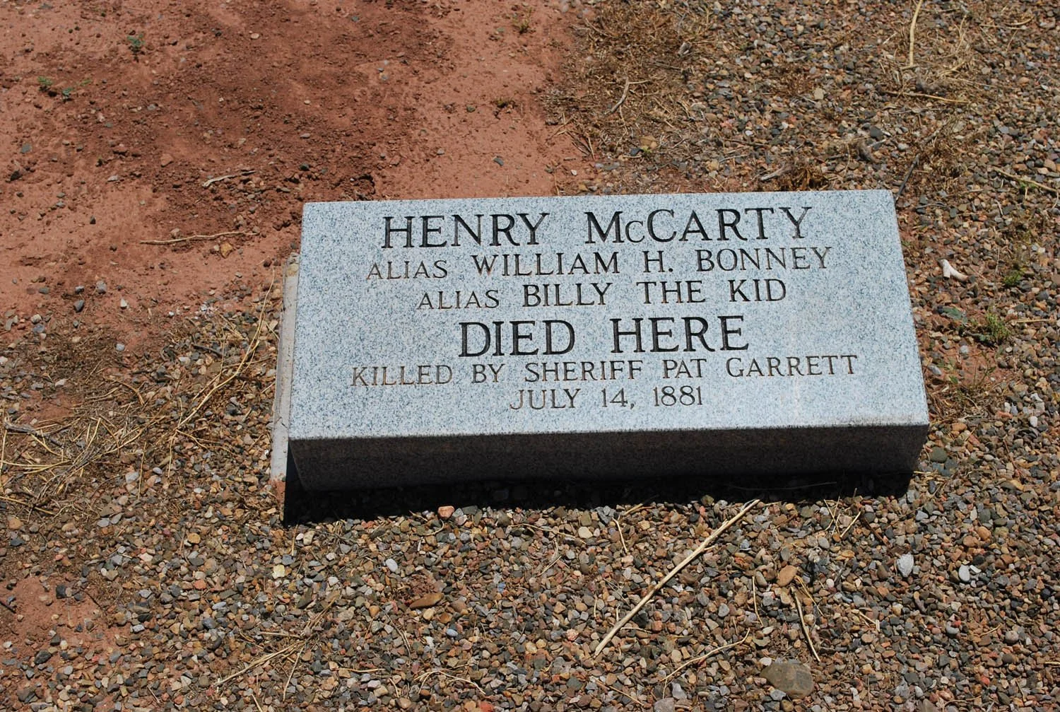
Roughly marks the spot were Billy the Kid was killed - in Pete Maxwell's house at Fort Sumner.
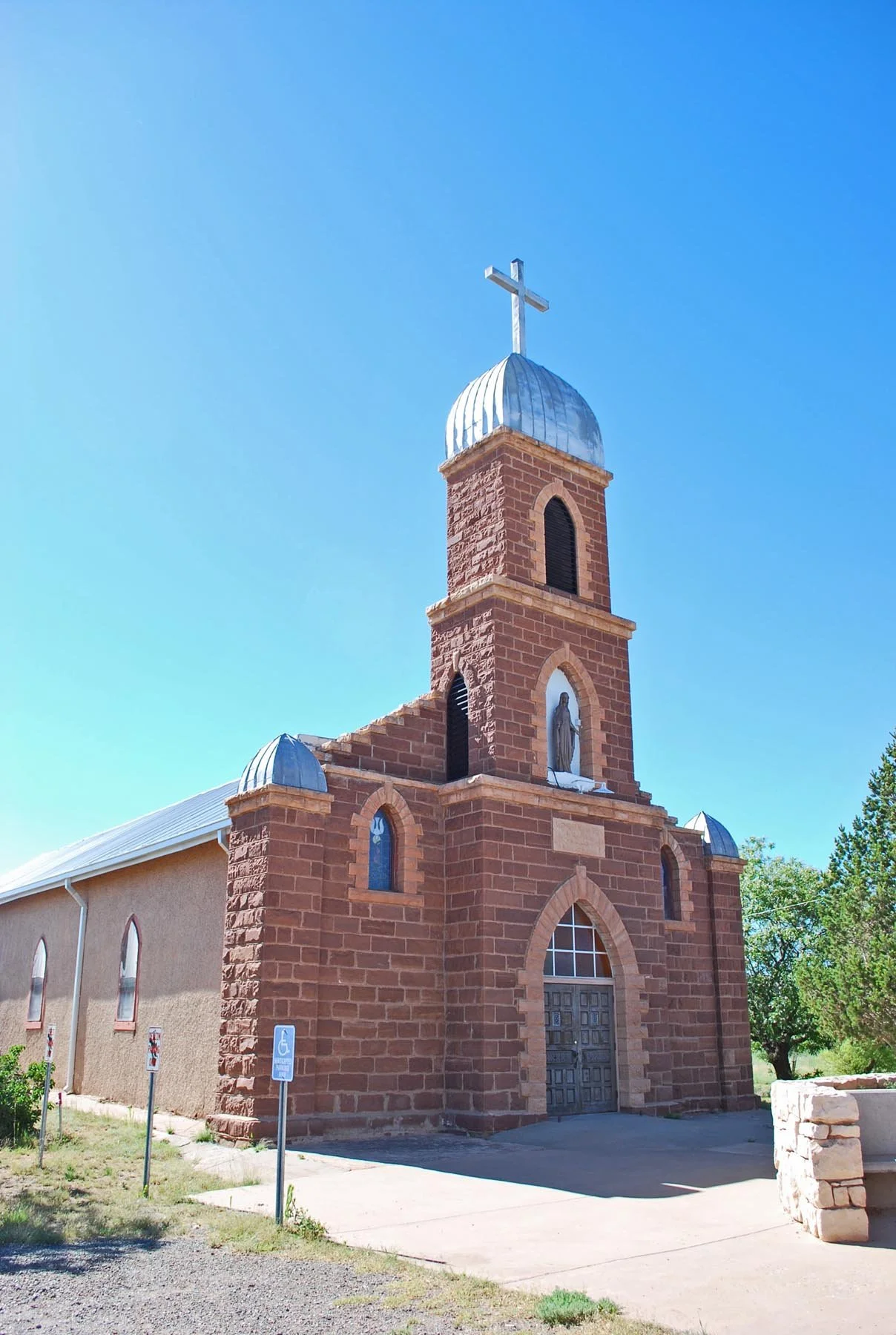
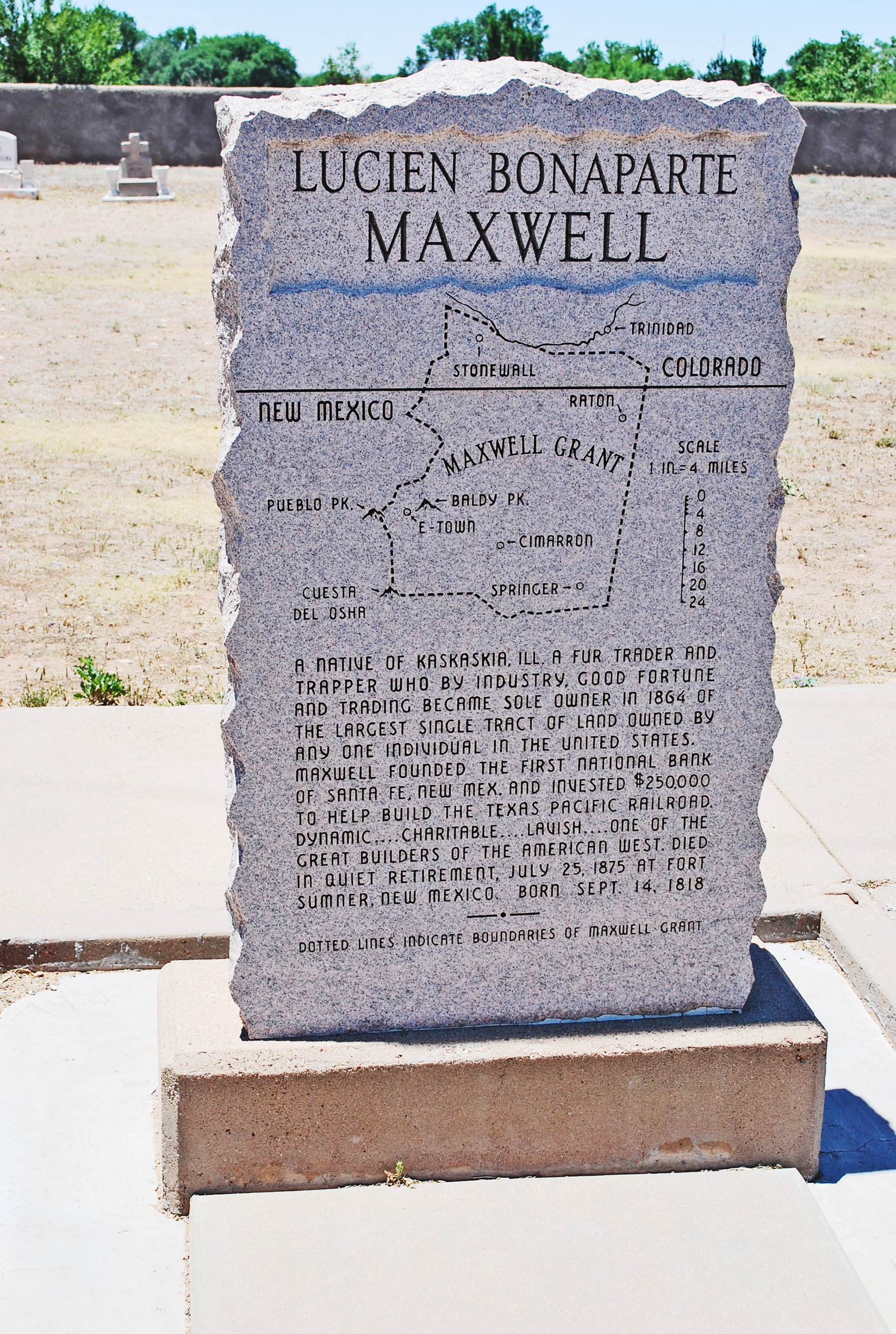
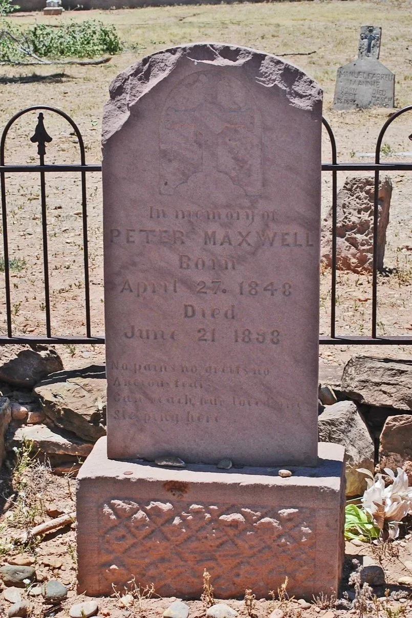
Pete Maxwell's grave in old Fort Sumner Cemetery.
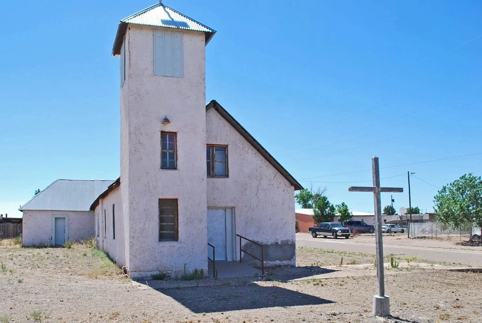
St. Anthony Catholic Church in Sunnyside, NM.
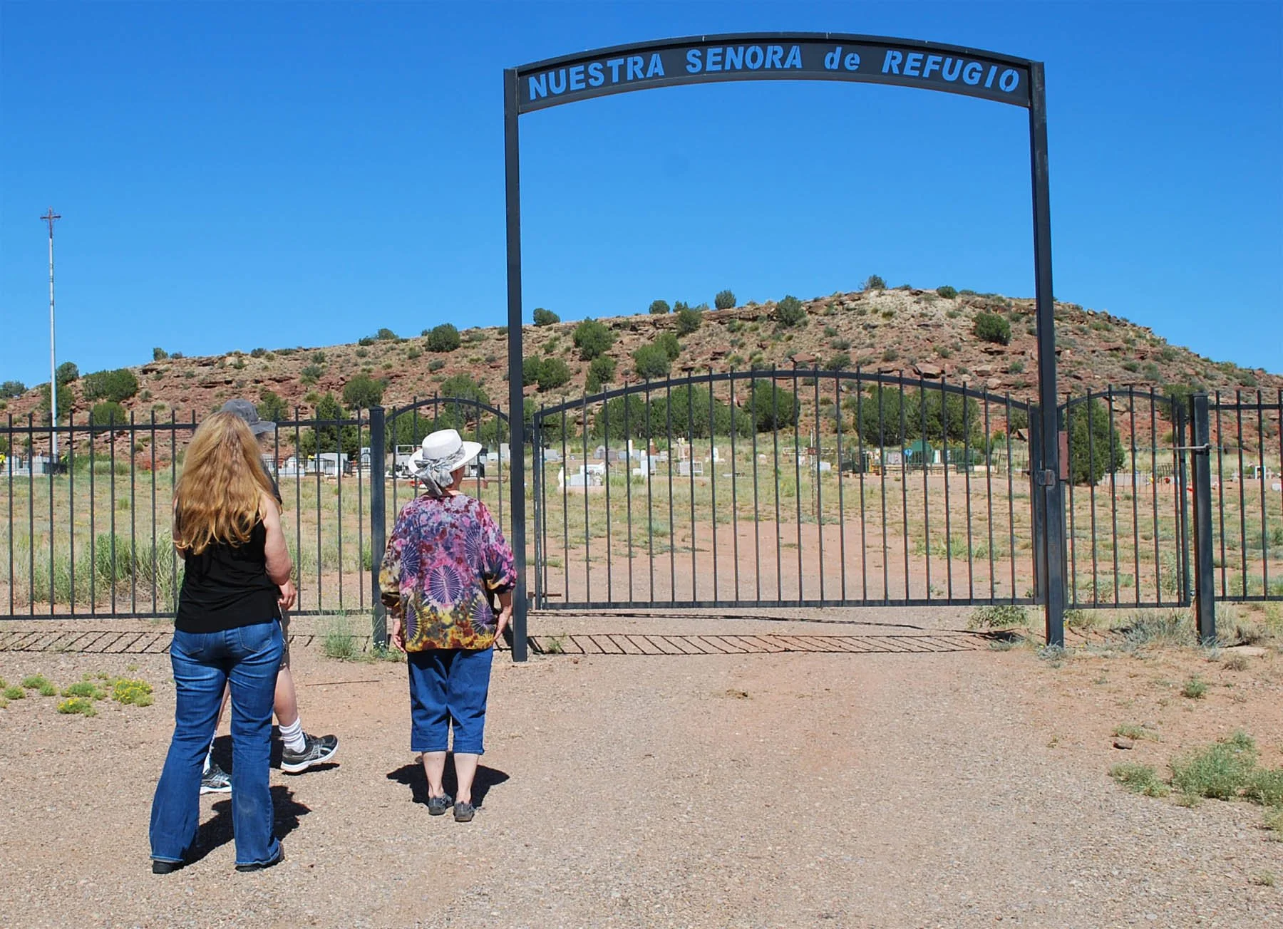
Nuestra Senora de Refugio Cemetery in Puerto de Luna, NM.
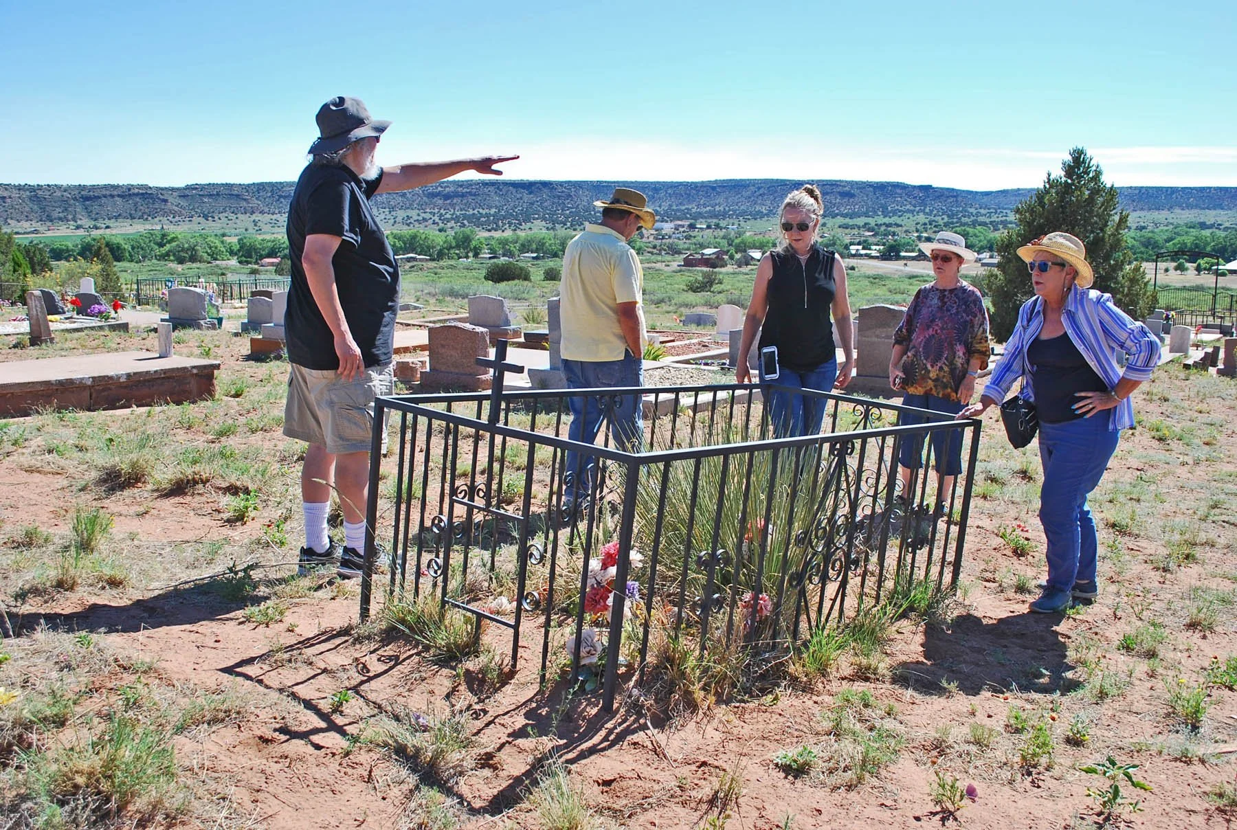
Grzelachowski's grave in Nuestra Senora de Refugio Cemetery.
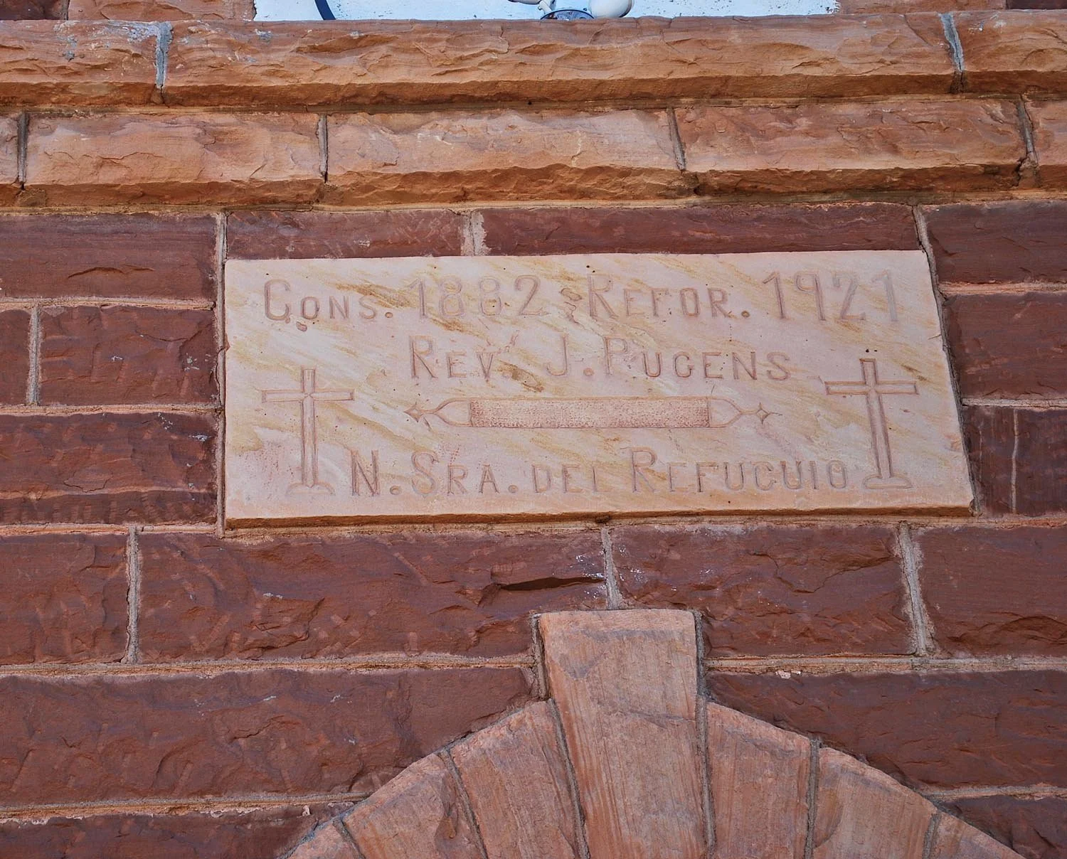
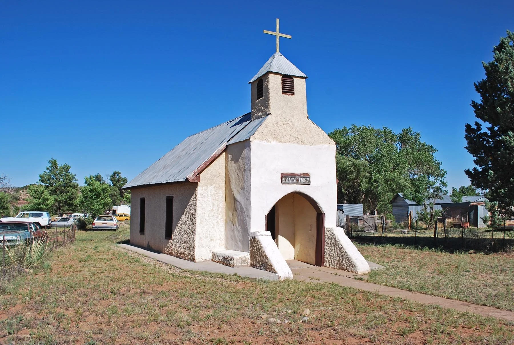
Nuestra Senonra de Refugio church in Puerto de Luna, NM.
Santa Inez Chapel in Puerto de Luna, NM.
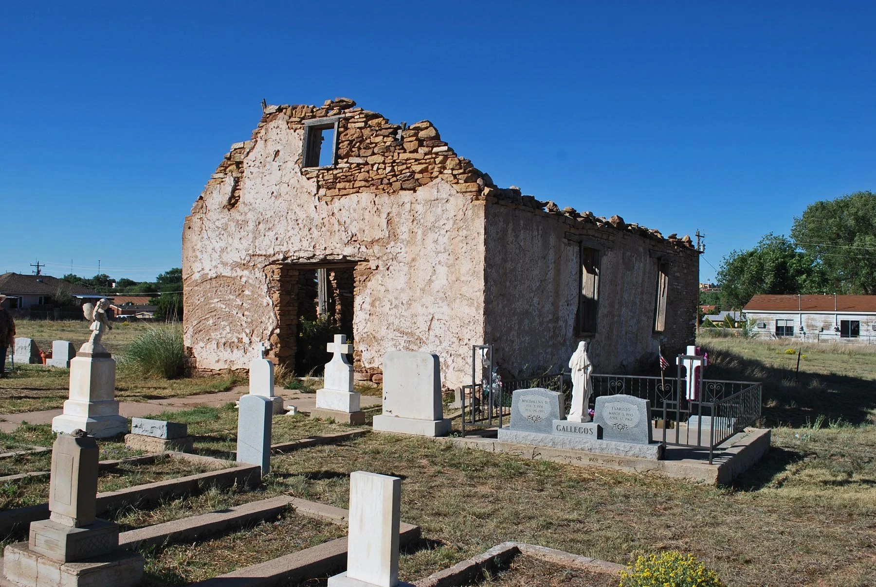
Santa Rosa de Lima Chapel in Santa Rosa, NM.
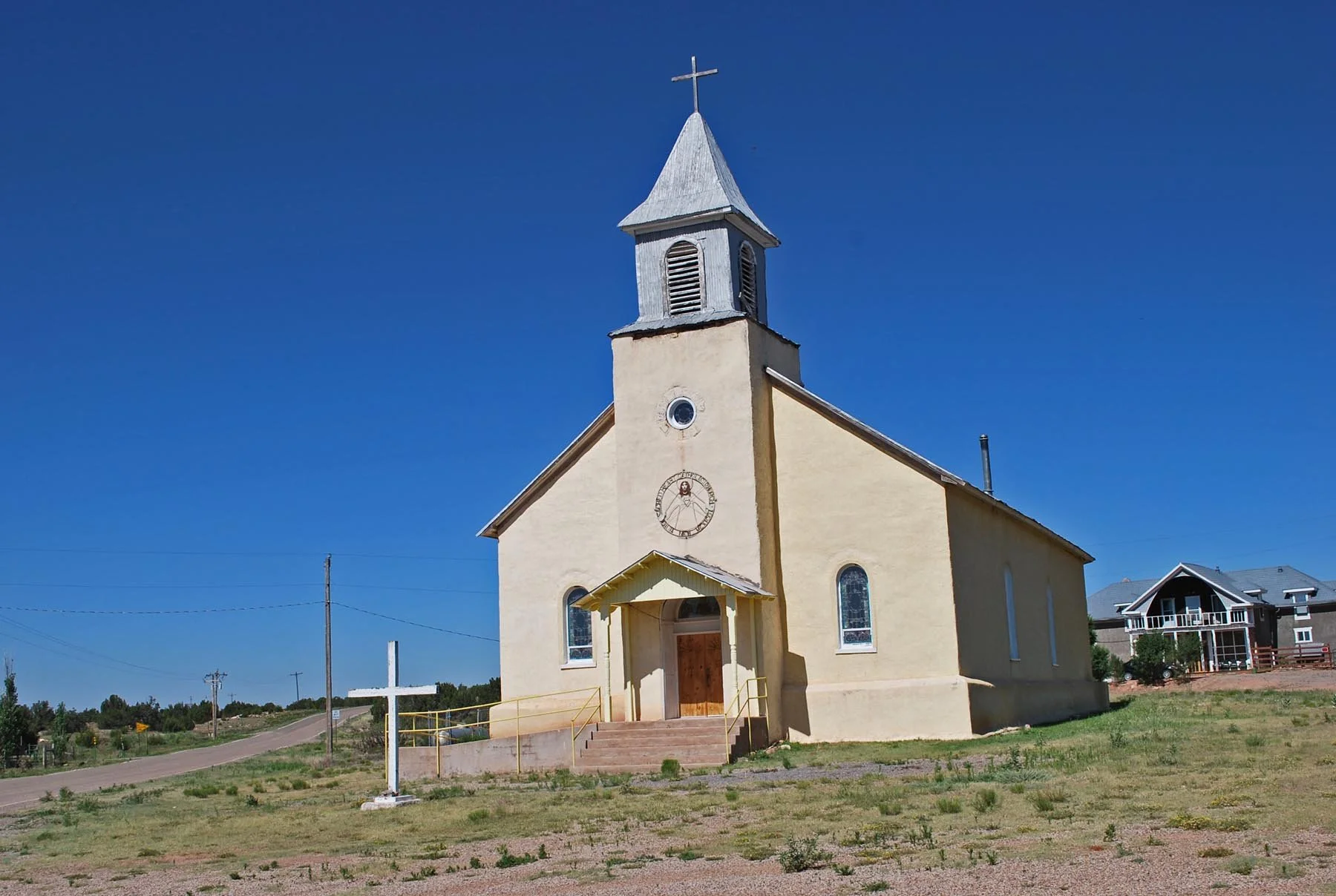
Sacred Heart church in Dilla, NM
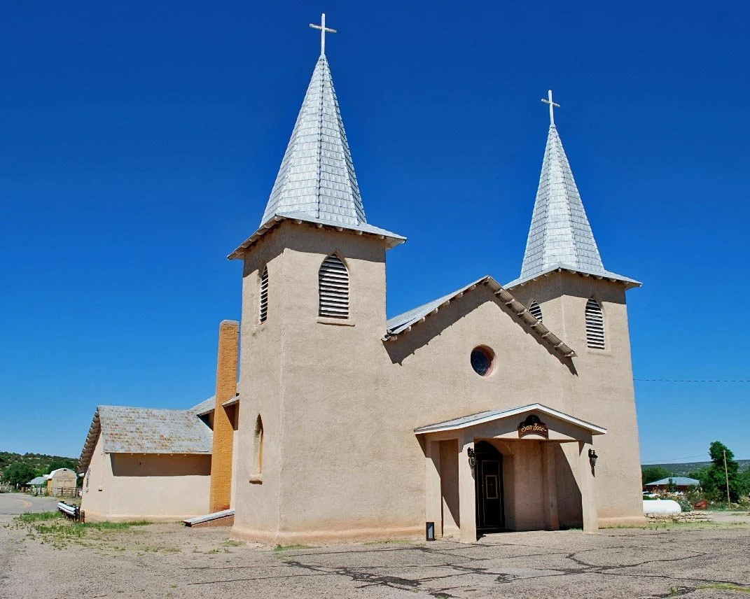
San Jose church in Anton Chico, NM
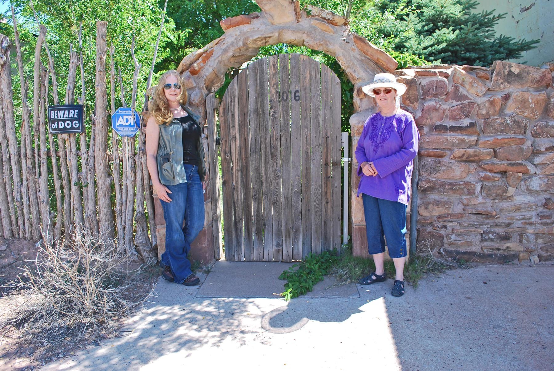
Karla and Sally in Anton Chico.
Tunstall murder site.
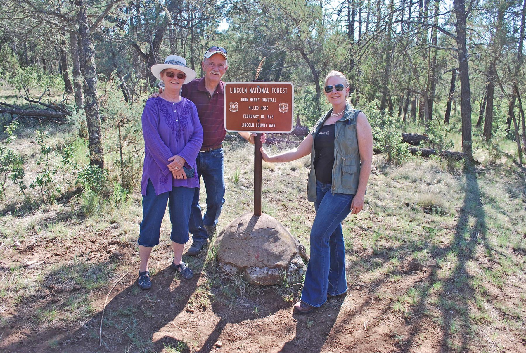
Sally, Bob and Karla at Tunstall murder site.